
Compare Sources for Danvers Neighbors
Public records can answer limited questions about the block around a Danvers address. The best first record is the parcel map, followed by the assessment card and, when needed, recorded land documents. Each source has a different date and purpose. A parcel outline identifies land, not a household. An owner display belongs to an assessment record. A deed identifies parties to a recorded transaction. A historic street list can place a name at an address for the year it was published. Treating those separate records as a current roster of neighbors produces a result the source does not support.
| Source | What it shows about a block | Access |
|---|---|---|
| Danvers GIS parcel map | Parcel shapes, roads, layers, adjoining lots, and measurements | Free public map, informational only |
| Patriot street search | Assessment records matching a street, number, or property filter | Free public portal |
| Essex South Registry | Recorded conveyances, parties, plans, restrictions, and easements | Free index; images or downloads may cost |
| Local voter list | Defined municipal public voter categories | Clerk request; protected fields excluded |
| Street list or directory | Historic address-to-person or name-to-address entry | Archives and libraries, selected years |
| Community Links | Civic and nonprofit organization links | Public page, no member directory |
For a current land question, prioritize the map, assessment card, and deed chain. For a past connection, add the source date and historical collection. Danvers neighbors are not established merely because names appear beside each other in a search result.
Start with a Danvers Parcel
Danvers Patriot Properties is useful before any name search. Its public form accepts optional parcel, owner, street name, street number, building type, year-built, lot-size, local-use-code, neighborhood, total-value, sale, book, and page fields. Start with the street name and number. Then record the parcel identifier, situs address, owner display, building facts, sale date or price, and book/page reference if the card supplies them. Those details are a bridge to GIS and the Registry.
The assessment card may display a mailing address as well as the situs. They are not interchangeable. Situs means the physical property location. A mailing address is where assessment correspondence goes and may be outside Danvers. Neither proves that an owner or a mail recipient lives at the parcel. The portal's combination of street, owner, local-use-code, value, sale, and book/page filters is useful for property research precisely because it lets each clue remain tied to the assessment source.
Open the Danvers assessor form before searching a street. Its card should be read with the map and Registry record, not as a list of Danvers neighbors.
Map Danvers Neighboring Parcels
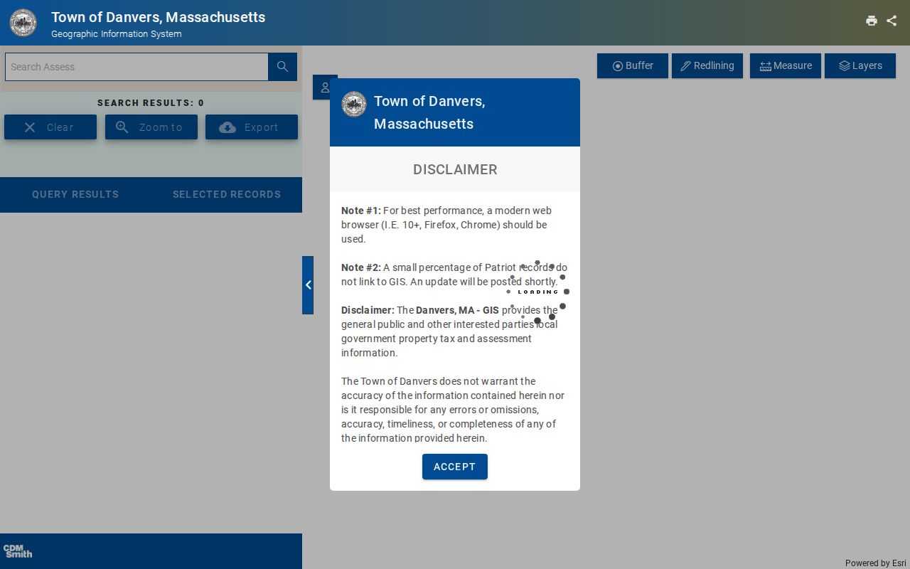
The adjacent-parcel method is map-first. Danvers GIS, or MUGIS, exposes public search, parcel detail, layer, measurement, selection, trace, redline, print, share, and adjacent-parcel style tools. Exact dynamic button labels and any buffer or radius setting were not captured in the official static material. That gap matters: use the live interface to inspect parcels rather than asserting a fixed button or distance.
- Find the starting address or select its parcel in Danvers GIS.
- Turn on parcel lines and inspect the lots that share a boundary or street frontage.
- Open assessment detail where the map makes it available, then retain only the parcel, situs, owner display, and map context needed.
- Use a book/page, plan reference, or owner name at the Registry when a shared boundary, easement, or land history question remains.
- For a full named-street chain rather than an immediate block, use the Danvers Street Directory.
The Town's zoning material says that GIS content and parcel lines are informational, not legal boundaries. A survey, recorded plan, or written Registry record is the stronger source when the question is a boundary rather than map context.
See the Danvers GIS viewer for its active map tools.
Read Danvers Parcel Details Carefully
A block search becomes more reliable when every field keeps its original meaning. The parcel or map-lot is an assessment and GIS identifier that can bridge a changed street number or subdivision. Book/page or an instrument number is the Registry reference for a recorded document. The owner display is a label in the assessor database and should be checked against the Registry for a title question. A historic directory address is evidence of a person at that address only for the volume's date.
- Situs address
- The physical location of the assessed parcel, not necessarily the address where an owner receives mail.
- Mailing address
- An assessment-correspondence destination that may be outside Danvers and does not identify an occupant.
- Parcel or map-lot
- An assessment and map identifier that can connect a street address, map view, and subdivision history.
- Legal description
- The recorded land description, often using lots, plans, bounds, or prior names rather than only a street number.
- Easement
- A recorded right involving land use or access. It may explain a property relationship without changing ownership.
Note: A map label is a useful starting point, but the relevant deed, plan, and legal description control a recorded-land question.
Check Danvers Block Deed Context
Shared-boundary questions belong at the Essex South Registry recorded-land search. The address form requires a street name and date range, permits the selection of Danvers and document types, and instructs users to omit street suffixes such as Avenue or Street. For an address range or suffix, use the first number. The street search begins May 31, 1899 and covers deeds and conveyance documents. It will not capture every land record or every older address trail.
For each plausible entry, record the instrument or book/page, recording date, document type, grantor, grantee, town, address, and image availability. Recorded images can add a legal description, plan references, restrictions, and easements. The Registry's main index begins in 1951, with earlier index ranges separated for browsing, while recorded images reach back to 1640. If an old address misses, use owner names, a plan, or the legal description instead of assuming the block had no prior history.
Use Danvers Voter Data Carefully
Massachusetts has a narrow public voter-confirmation tool. It asks for first name, last name, month, day, year of birth, ZIP code, and an acknowledgement. A non-match can reflect a nickname, an old ZIP after a move, timing, or another municipality. It is not a way to produce a block roster. The Secretary's guidance says a local public voter list can include name, address, party, date of birth, active or inactive status, and voter ID, while phone, email, veteran, permanent-absentee, and confidential-voter data are not public.
A request for a defined local record goes to the Danvers Clerk rather than the statewide database. Statewide files are limited to qualifying campaign and party uses under license. Ask only for a lawful, redacted field set and do not turn a voter category or inactive status into a conclusion about who is physically present. The Clerk can also explain a mismatch or the current municipal request route.
Use Danvers Community Links
No official Danvers neighborhood-association member directory, homeowner roster, or public block-watch list was located. The Town's Community Links page is instead a public hub for civic and nonprofit organizations, and the Town disclaims endorsement and control of outside organizations. A public group contact is useful for learning what an organization does. It is not a route to participant names, household contacts, or a boundary map.
| Public community lead | What the Town link supports |
|---|---|
| Danvers Community Council | Organization contact and community-service lead, not a member list |
| Danvers Rotary and Kiwanis | Civic-group links, not participant rosters |
| Danvers YMCA and NSCAP | Public nonprofit links, not a block directory |
| Essex County Community Foundation and Habitat | Regional civic contacts, not address records |
| Operation Troop Support and We Are Danvers | Organization leads only, subject to each group's own contact practices |
The Archival Center may also hold church or organization records, but the official guide does not provide a complete congregation-by-congregation index. For historical community research, ask for an organization name, date range, and finding-aid reference.
Compare Danvers Neighbor Sources
Official records have clear custodians, dates, and limits. A commercial neighbor-search category may compile old addresses, property data, phone or email claims, social-profile material, and public filings. Such products can merge people with the same name, carry stale information, and charge for access. They do not replace a Danvers parcel map, assessor record, Registry document, or Clerk response. Correcting a public record starts with the office that created it.
| Source type | Best use | Key limit |
|---|---|---|
| GIS and assessor | Parcel location and assessment context | Not title or occupancy proof |
| Registry index and image | Dated parties, instruments, plans, and land description | Index is not a complete title opinion |
| Clerk-held voter record | Defined local public voter category | Controlled fields and protected-voter exclusions |
| Commercial neighbor-search category | Possible lead to verify at the source | May be stale, merged, incomplete, or inaccurate |
When a result matters, retain the official link and date, then ask the originating custodian to correct a factual error. Do not publish extra personal detail merely because an outside listing claims it.
Read Danvers Planning Labels
The official zoning map may show Civic, Commercial, Health, Industrial, Residential, Waterfront Village, Hathorne West, Tapleyville Overlay, Danversport Industrial, or Highway Corridor. These are planning terms and map layers. They are not guaranteed everyday neighborhood names, household descriptions, or association boundaries. Use them to understand the map's planning context, then return to parcels and recorded plans for a specific land question.
Historic labels require the same care. Salem Village, South Danvers, Danvers District, Danvers, and Peabody can describe overlapping geography in different periods. The area became the Danvers district in 1752, the town in 1757, and lost the Peabody area after the 1855 separation. For a historic block, preserve the period place name alongside the modern address instead of silently replacing it.
Protect Danvers Neighbor Privacy
Some information about a block is deliberately private. People who live at a property may not appear in assessment or deed data. An owner may live elsewhere. Protected voter information is withheld, and the Massachusetts Address Confidentiality Program supplies a substitute mailing address for eligible survivors. Utility customer and delivery data are not public. Federal law also restricts personal information from motor-vehicle records. A police dispatch location can be general, redacted, or unsuitable for a household conclusion.
Use the smallest useful fact, source, and date. If a confidential address or private contact detail appears in a result, do not repeat it. The correct response to uncertainty is a narrow question for the proper custodian, not a broader search for a household roster.